Govind Nagar, Lane No 05, P.O - Kandoli, Sahastradhara Road, Dehradun
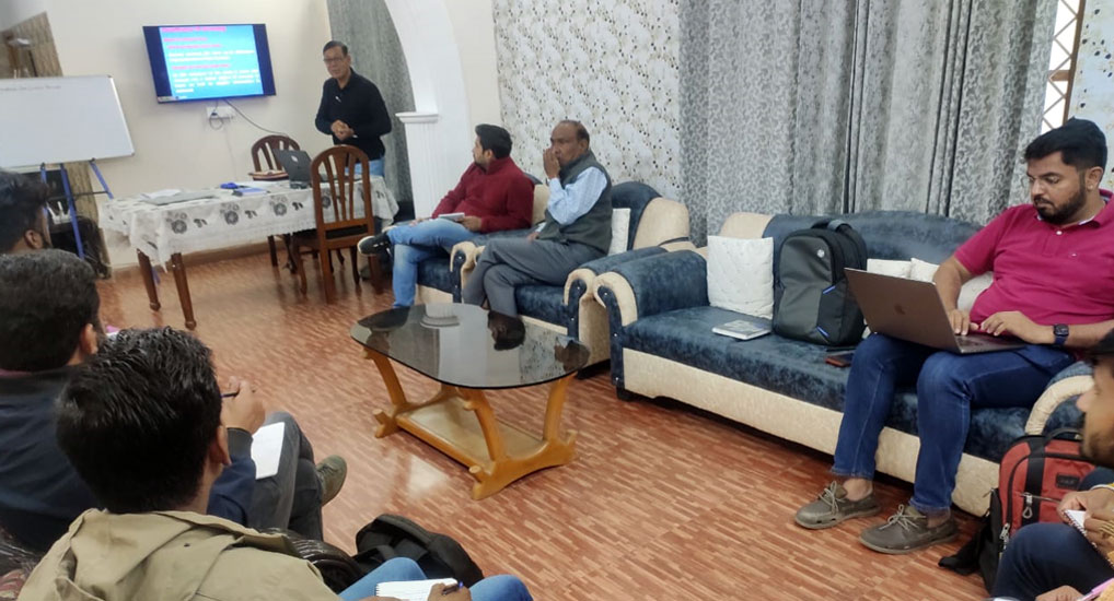
TGSPL has taken up the challenge for the development of the skilled workforce in an era of rapid economic and technological changes by imparting the intensive training in various branches of Land Surveying. We are the leading Land Survey training provider in India who we deliver quality education for students. All our faculties are well qualified and have more than 25 years of teaching and working experience in various branches of surveying.
The objective of the Land Survey Training Courses is to provide basics of digital surveying and mapping of earth surface using total station, GNSS, Levelling and mapping software. We offer short term courses ranging from one week to month long duration in following discipline of surveying.
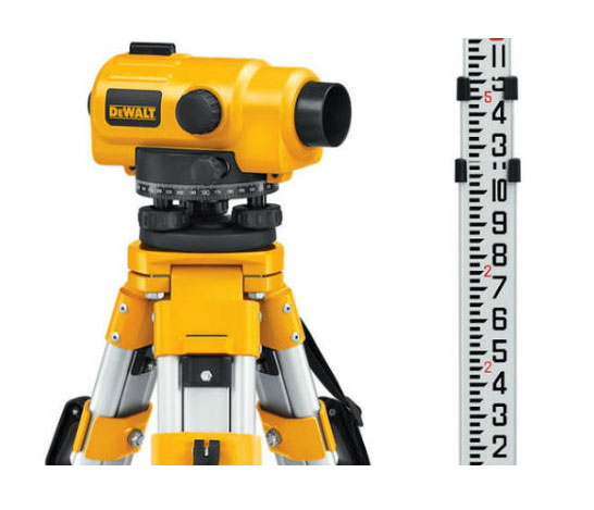
Auto and Digital Level Training
A Level is a Professional Leveling Tool used by Contractors, Builders, Land Surveying Professionals, or the Engineer who demands accurate leveling every time.
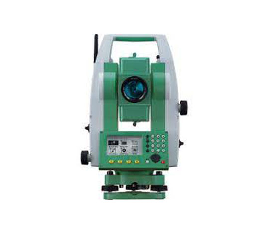
Total Station Training
Total Station is a modern surverying equipment used by civil engineers and surveying engineers at field for various applications such as angles and distance measurement.
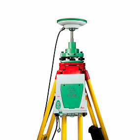
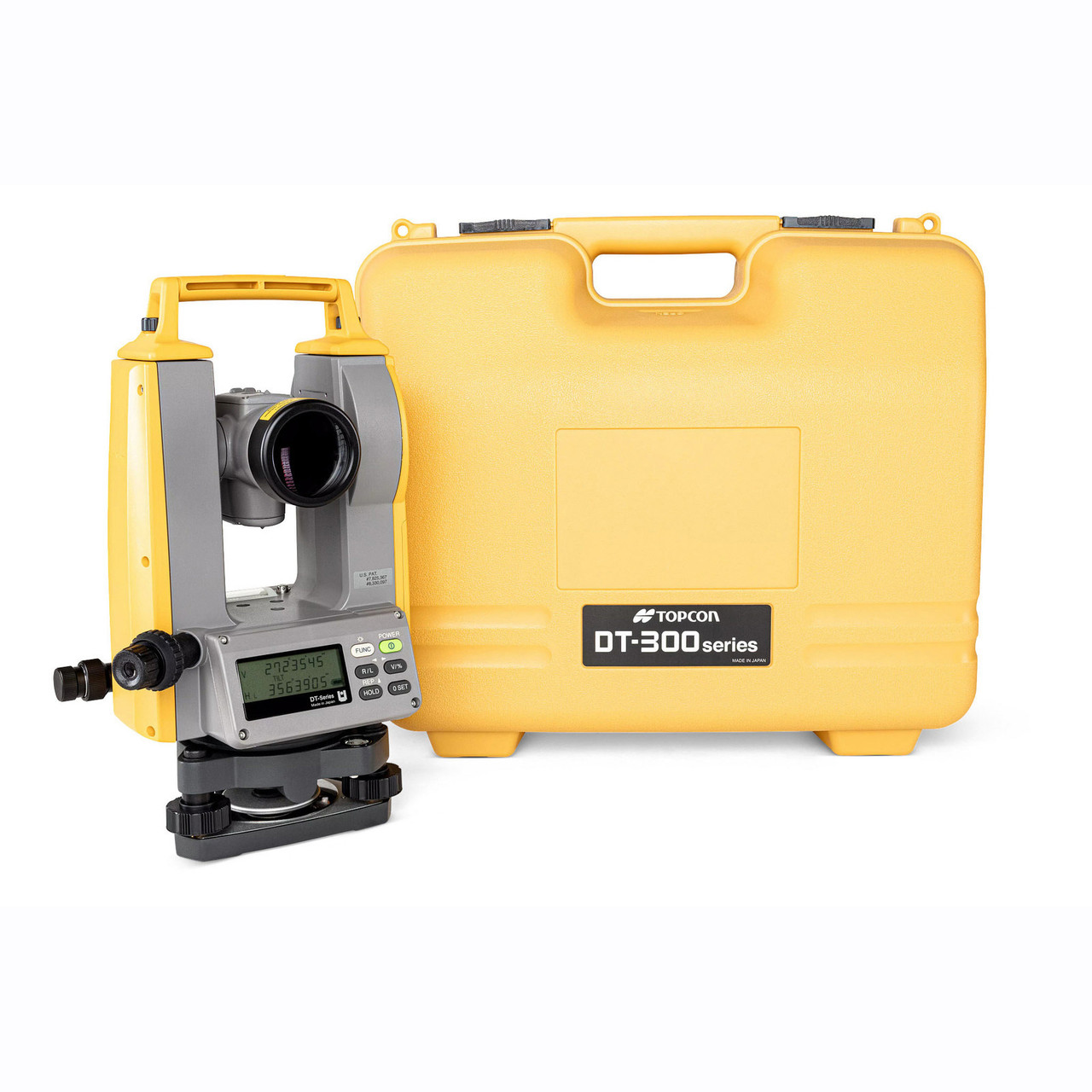
GPS and Digital Theodolite Training
A Digital theodolite is a precision instrument for measuring angles in the horizontal and vertical planes. Theodolites are used mainly for surveying applications,
Autocad and Civil 3D Training
AutoCAD and Civil 3D training is geared to provide learners with a solid grounding in the software so that they can immediately be productive when using the software. Our AutoCAD training courses are designed for the busy professional. Courses are short and intensive.

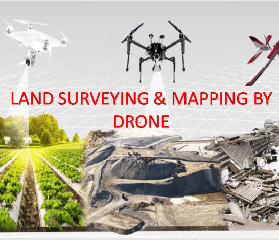
Drone Data processing and feature extraction (As per SOI Standards)
As per DGCA Guidelines, this course is specially designed for Surveying and mapping professionals.Through this training surveyors will able to do surveying through Drones in professional manner. This training will include Theory as well as practical which include fundamental Drones rules and regulations, Drone flying, capturing data from Drone and Drone data processing in GIS Field.